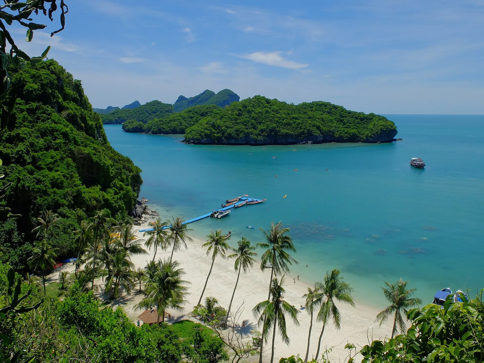

The park usually closes from 1 November to 15 December to let it recover during the monsoon; the exact dates depend on the weather and are announced by the Department of National Parks. Check with your tour operator before booking.
The park
- Established: 12 November 1980, as a marine national park.
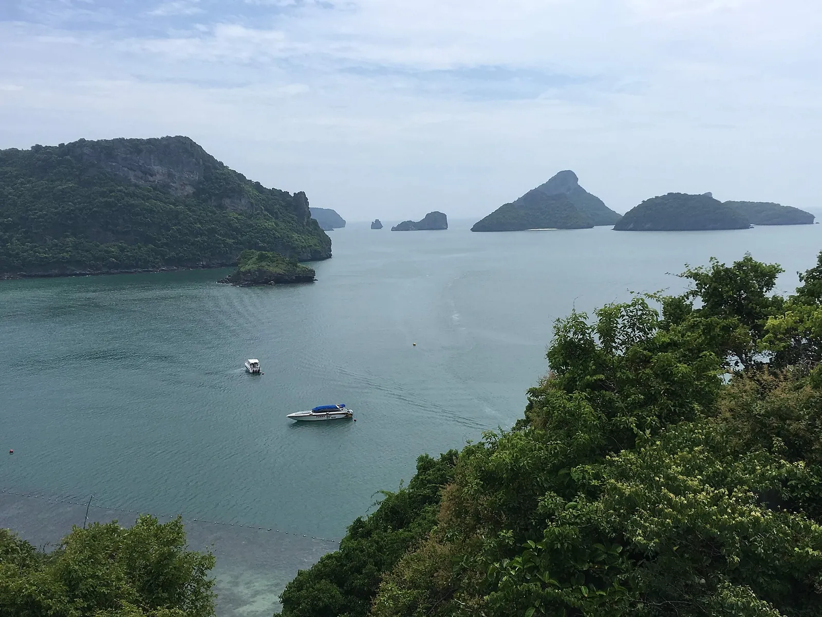
- Area: about 102 km², roughly half of it sea, with 42 islands. The water around them is shallow, about 10 m on average.
- Name: Ang Thong means "bowl of gold"; Mu Ko means "group of islands".
- Status: a Ramsar wetland of international importance since 2002 (site no. 1184).
- Distance: about 28 km from Samui. Most islands are uninhabited; the park headquarters is on Ko Wua Ta Lap.
What a day trip includes
Most tours leave Samui in the morning and return late afternoon. A typical day combines snorkelling or kayaking, a stop at the park headquarters and the walk up to the lake on Ko Mae Ko. Itineraries vary between operators, so compare what is included.
- Thale Nai, Ko Mae Ko. A saltwater lake enclosed by cliffs and connected to the sea underground. Stairs lead up to a lookout over it.
- Wua Ta Lap viewpoint. A steep trail of about 500 m from the headquarters, 25–30 minutes up, partly over sharp limestone. Wear proper shoes and take water.
- Kayaking along the cliffs and into small bays.

Fees
| Adult | Child (3–14) | |
|---|---|---|
| Foreign visitors | 300 baht | 150 baht |
| Thai visitors | 40 baht | 20 baht |
Rates as reported in 2026. Some tours include the fee and some collect it separately; ask before you pay.
Staying overnight
The park has a few bungalows and a camping area on Ko Wua Ta Lap, booked through the Department of National Parks. You still need a boat there and back, so check how you will return before you book.
Rules
- Do not stand on or touch coral, and do not feed fish.
- Take all rubbish back to Samui.
- Follow the rangers' instructions; some trails and beaches close without notice.